
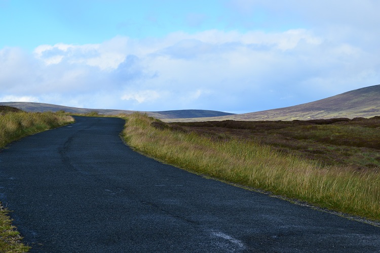
The Military Road is a stretch of highway (in the old fashioned sense of the word!) that runs through the Island from north to south through the Wicklow Mountains - who are we to say where the back or front of the mountains are. It was built between 12 August 1800 and October 1809, and if you choose to travel this way, you’ll begin to see why so many of the participants of the 1798 rebellion were able to hide away from the British. The ringleader Michael Dwyer (1799–1803) had good connections throughout the surrounding communities and was, therefore, able to hid well during these conflict years. Due to the inability of the military to capture him, the British ordered more soldiers to be brought in and built a road to keep the movement of all the personnel tidy. Till today this stretch of road offers undisturbed views of the wild landscapes.
GPS Coordinates: Latitude: 53.114088; Longitude: -6.322971